Itinerary between refuges in the Picos de Europa
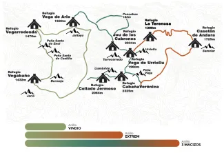
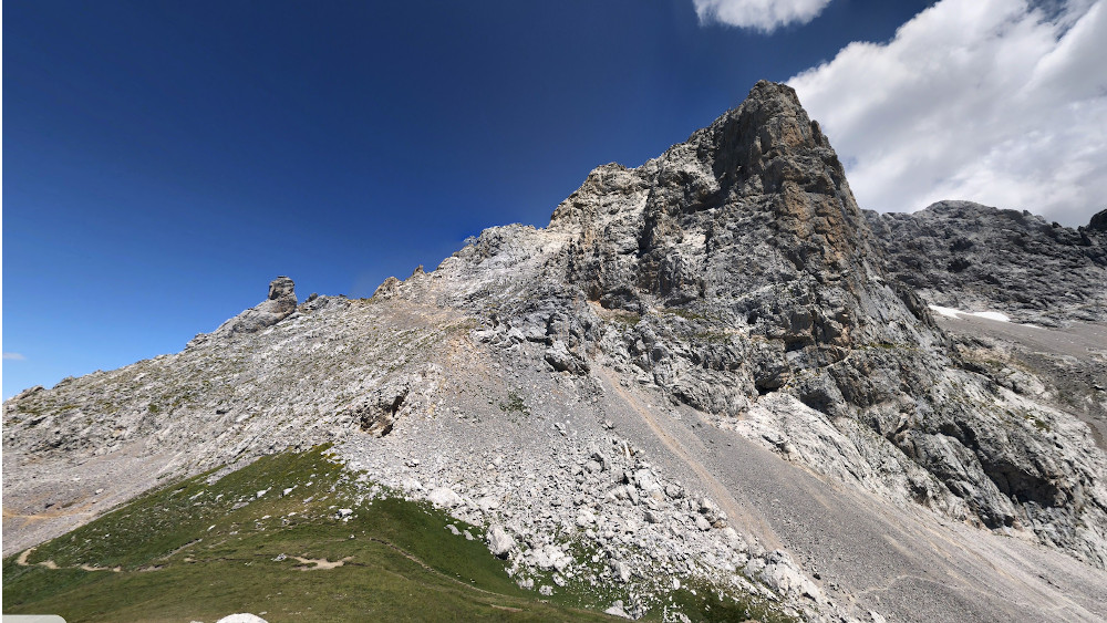
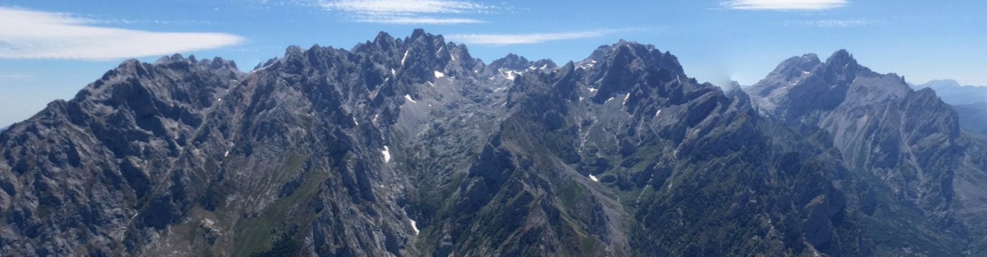
The Picos de Europa Ring is a circular trekking itinerary of several days that connects the main refuges of the Picos de Europa National Park and crosses its three massifs, including some of its most representative sections in the territory of the council of Cabrales.
Cabrales is not just a passing point: it constitutes one of the central stages of the route.
In this territory are located some of the most recognizable landmarks of the Ring:
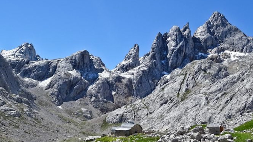
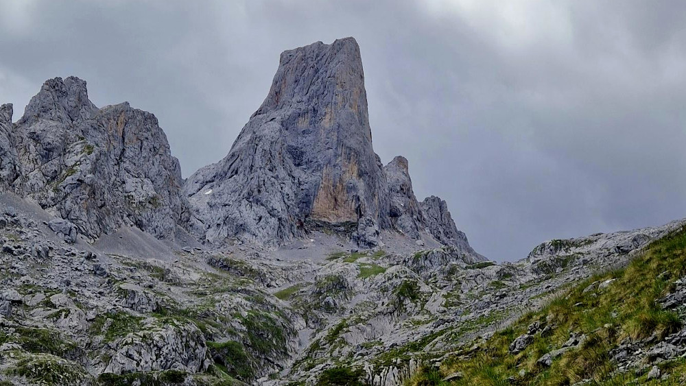
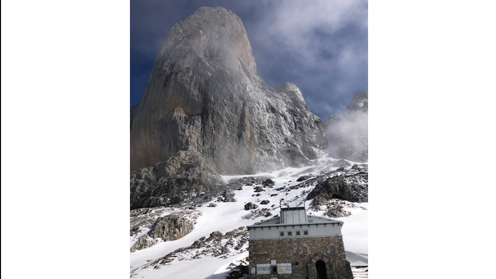
- The Picu Urriellu / Naranjo de Bulnes, symbol of mountaineering in Spain.
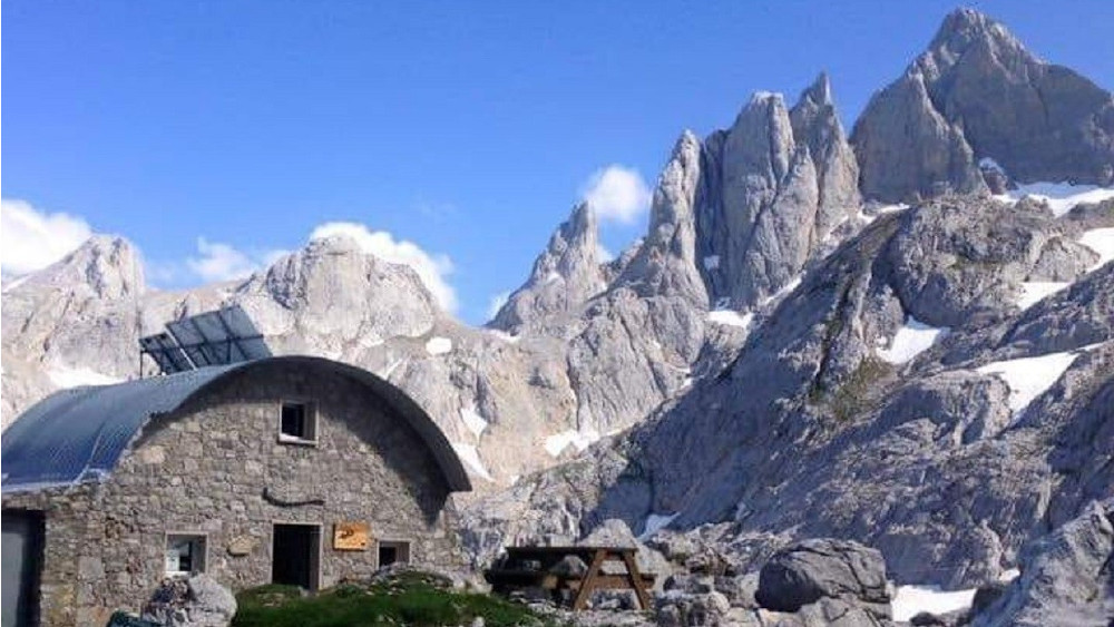
- The Vega de Urriellu Refuge, one of the most emblematic refuges in the National Park.
- The Jou de los Cabrones Hut, located in one of the most spectacular and isolated spots of the Central Massif.
- Traditional accesses such as the Canal del Texu to Bulnes or the historic paths that connect Sotres with the Massif.
Modalities of the Ring of Peaks
The route can be done in three different variants:
- Vindio Ring, which runs through the Western Massif and is the option with the shortest distance and accumulated elevation gain.
- Extrem Ring, which links the Western Massif and the Central Massif and includes the Urriellu and Jou de los Cabrones.
- Three Massifs Ring, the most complete modality, crosses the Western, Central and Eastern Massifs, forming the longest and most demanding itinerary.
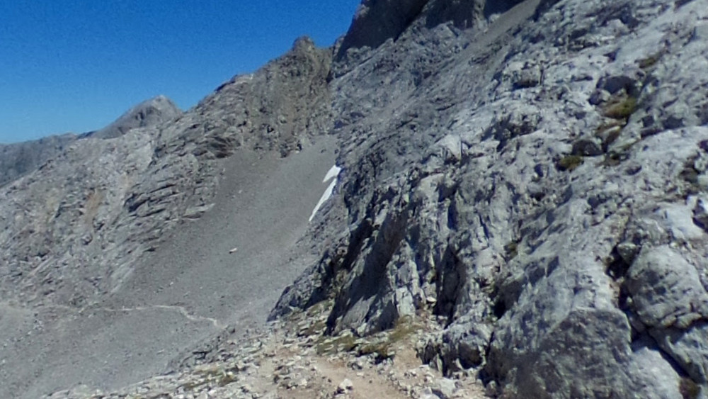
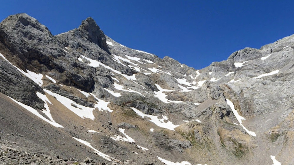
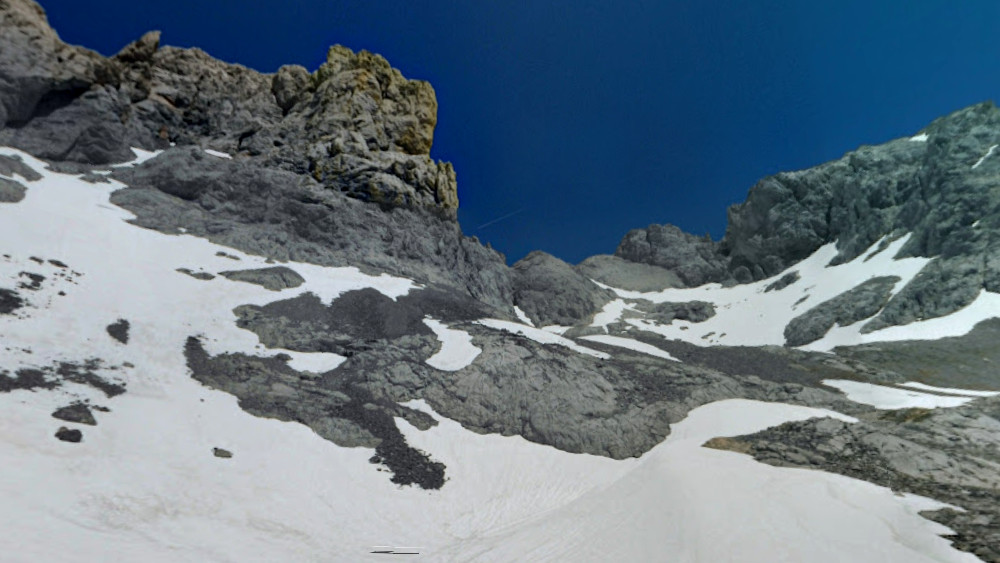
In the Extrem and Tres Macizos modes, the route through the Cabrales territory concentrates some of the steepest and most technically complex sectors of the whole Ring, in a landscape dominated by high mountain karst relief.
For more information on itineraries, stages, refuge reservations and technical recommendations, please visit the Official website of the Ring of Peaks.