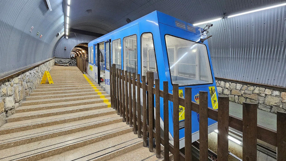
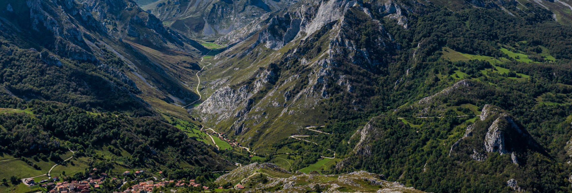
To move around Cabrales is to understand its geography. The road network of the council is articulated around the natural corridor formed by the valleys of the Casaño and Cares, on which the communication of the territory has been structured. The AS-114 runs along this longitudinal axis: after entering from the west and crossing the high area of Ortiguero, it descends through the Estazadas to the Casaño valley and continues towards Arenas, where it joins the Cares river. From this main axis depart the secondary and local roads that connect the different nuclei of the council.
The backbone axis: the AS-114
The AS-114 road (Cangas de Onís - Panes) is the main infrastructure of the council. Along its route it articulates the connection between the different nuclei and channels both daily mobility and visitor movements.
In the western sector it is linked to the Casaño valley and, from Arenas, it continues parallel to the Cares river in its eastern section, fully integrating itself into the natural corridor that structures the territory.
Secondary network: access to the villages
From the AS-114 there is a network of local roads and branches that guarantee access to the different villages of the council, adapting to the complex orography of the Casaño-Cares corridor.
In the western sector, before descending through the Estazadas, are Ortiguero and Canales. From Canales starts the access to La Molina, while from Ortiguero are connected nuclei such as Pandiellu and Puertas, whose main access is from the Estazadas.
After descending the Estazadas towards the Casaño valley, Inguanzo and Berodia are accessed. At the height of Carreña, capital of the council, starts the road that ascends towards Asiegu.
Further east, the AS-114 continues towards Póo and Arenas de Cabrales, where the road system branches out again: to the south, through the AS-264, towards Poncebos, Bulnes, Tielve and Sotres; and to the north, through the AS-345, towards Arangas and the link with Peñamellera Alta.
Internal mobility by bus and taxi
There is a regular bus line along the axis of the AS-114, although it has reduced frequencies. Therefore, it is recommended to plan your trips in advance and consult the updated schedules before organizing your trip.
As an alternative to regular public transport, the council has a cab service, which allows internal travel between villages or to starting points of routes and mountain accesses with greater time flexibility.
In certain periods and depending on the regulations established by the National Park of Picos de Europa, specific shuttle services may be provided from Arenas to Poncebos and Sotres.
To consult timetables, frequencies and possible service modifications, it is recommended to contact the operating companies or the official channels of the National Park in the case of shuttles linked to access regulation.
Parking and access regulation
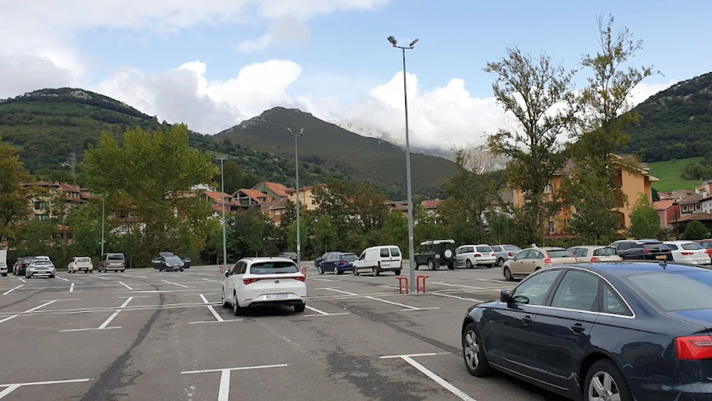
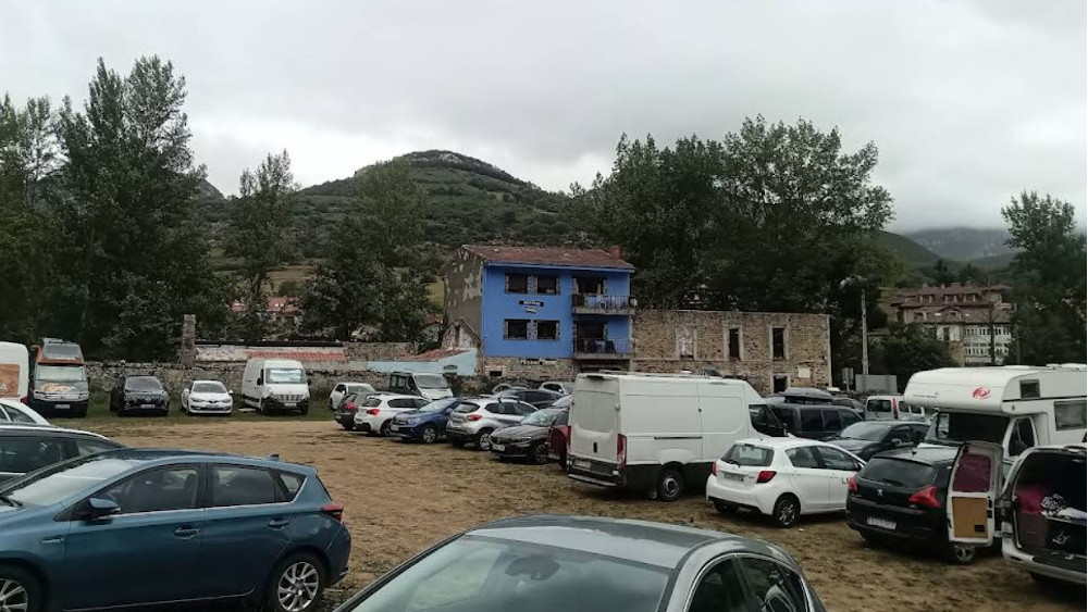
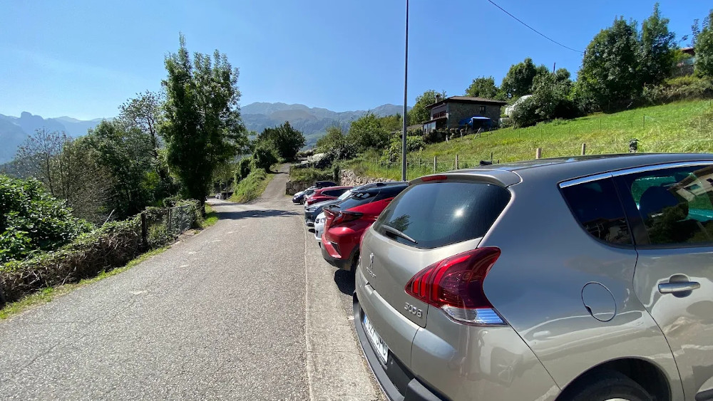
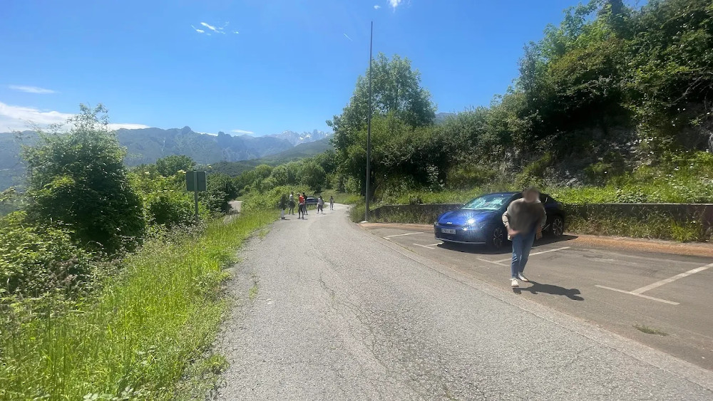
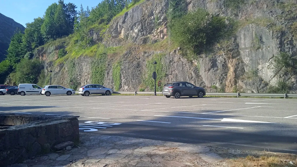
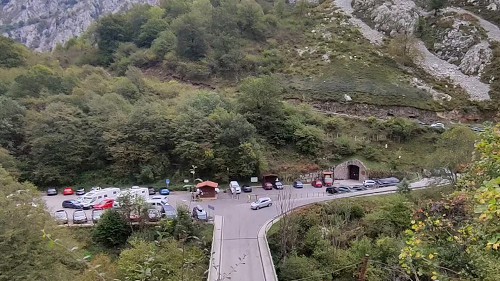
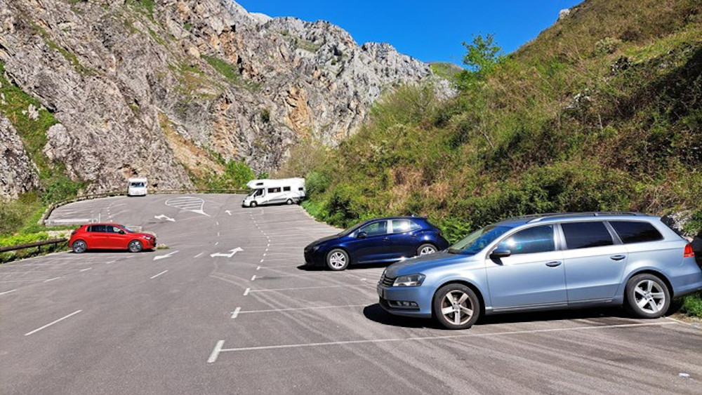
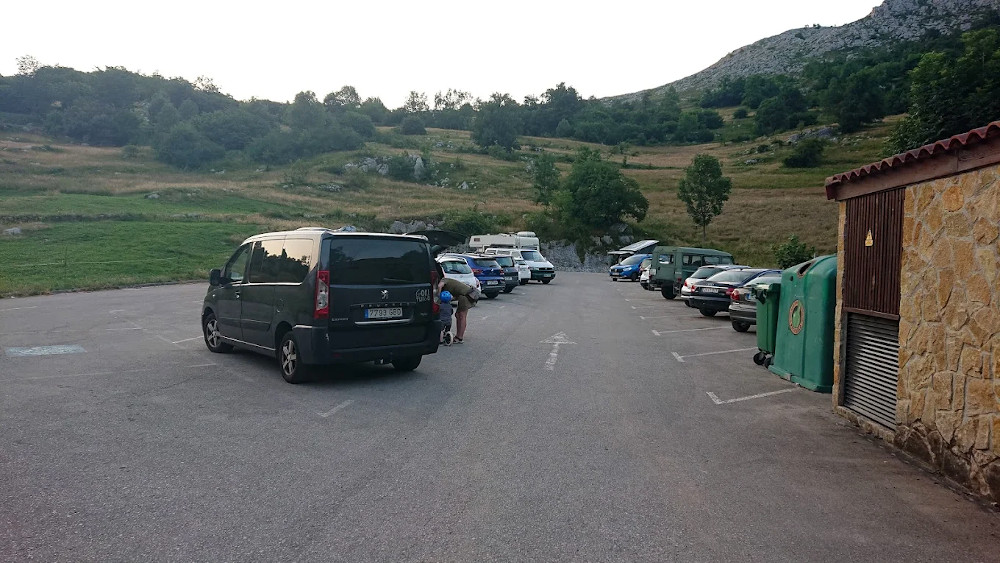
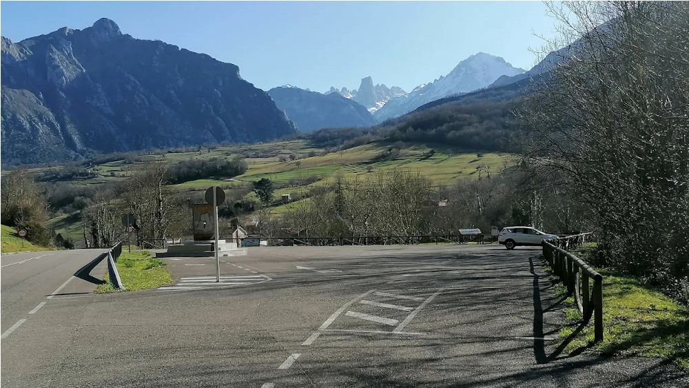
The orography of Cabrales directly conditions the availability of flat space. At certain points, especially in Poncebos and on the ascent to Sotres, parking capacity is limited and may be insufficient in periods of high influx.
In the area of the Picos de Europa National Park, access regulation systems may be established in certain areas, such as Pandébano or Vegas de Sotres, in order to ensure the conservation of the environment and safety.
For updated access conditions, regulation periods or possible restrictions, it is recommended to consult the official information of the National Park directly.
For updated access conditions, regulation periods or possible restrictions, it is recommended to consult the official information of the National Park directly.