A high mountain council in the heart of the Picos de Europa
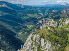
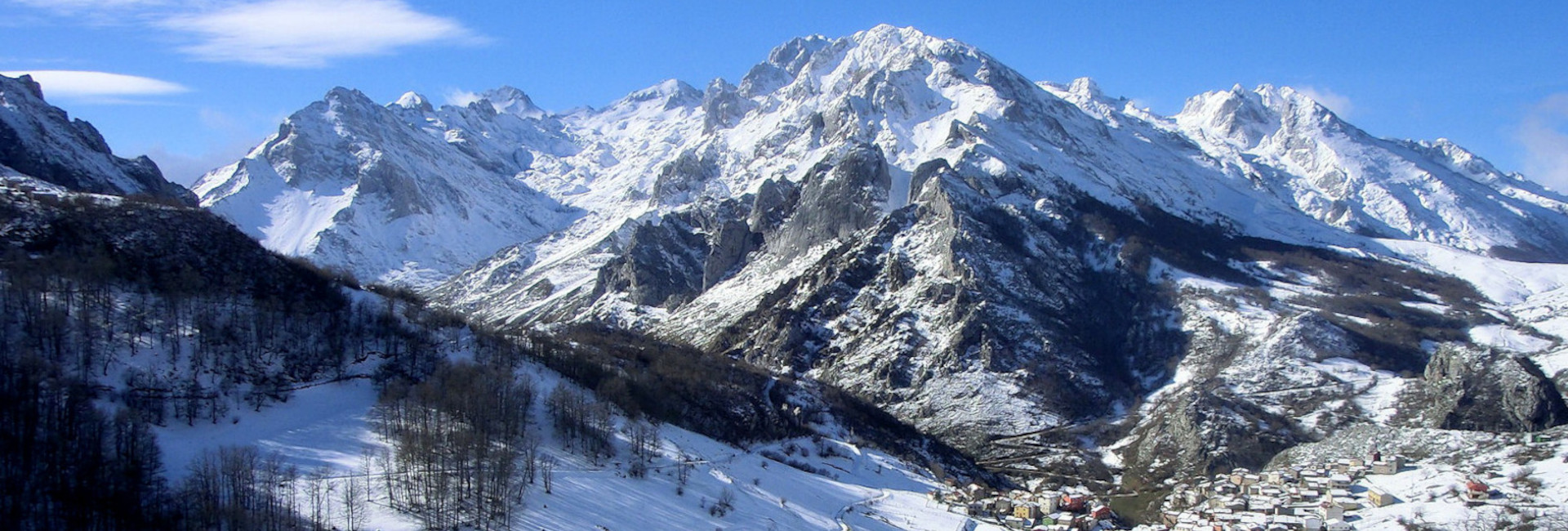
Cabrales is a high mountain council located in the southeastern corner of Asturias. Although it has no direct access to the sea - the Sierra del Cuera separates it from the Cantabrian Sea - its name is widely known inside and outside the region thanks to a landscape of enormous strength and beauty, dominated by large peaks, deep gorges and valleys that make it a privileged destination for nature and mountain tourism.
It borders to the north with the council of Llanes, to the west with Onís, to the east with Peñamellera Alta and with the Cantabrian territories of Tresviso and Camaleño, and to the south with the Leonese council of Valdeón. This position, between Asturias, Cantabria and Castilla y León, reinforces its character as a transition territory and natural passage to the Picos de Europa.
A spectacular and very diverse relief
With an area of just over 238 km², Cabrales has a markedly mountainous topography. More than half of its territory is part of the central massif of the Picos de Europa, declared a National Park in 1995, making it one of the largest protected areas in Spain.
The rest of the council is divided between the Asturian pre-coastal depression, crossed by the rivers Casaño and Cares, and the southern slopes of the Sierra del Cuera, where some of the cabraliegos villages are located, such as Arangas, Asiegu or Puertas.
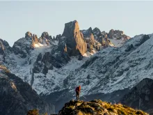
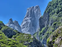
From Arenas de Cabrales, the Cares River marks one of the main gateways to the Picos. Going up its course, one mountain ranges, gorges and valleys become narrower and narrower until reaching the highest altitude areas, where some of the most emblematic peaks of the north of the peninsula can be found. Here the Torrecerredo, at 2,648 meters, the highest point of the massif, and the Picu Urriellu or Naranjo de Bulnes, icon of mountaineering and undisputed symbol of the landscape of Cabral.
Cabrales also includes a small sector of the eastern massif of the Picos de Europa, the only one within the Asturian territory, with mountains of great altitude but a generally gentler relief than that of the central massif.
A landscape shaped by rock and water
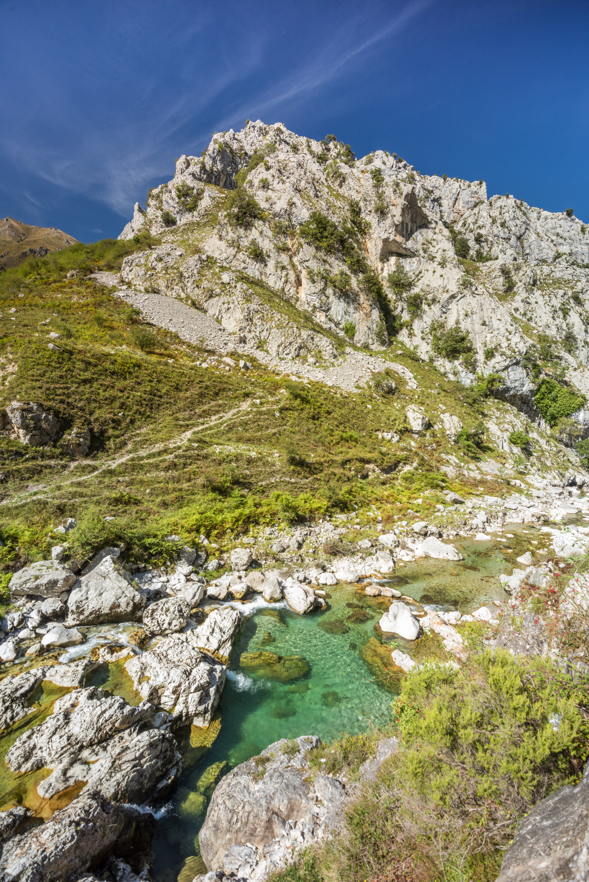
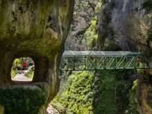
The geology of the council is dominated by Carboniferous limestones, organized in large scales that form impressive natural walls. On this substrate, the action of water has created a characteristic karst landscape, with lapiaces, dolines, jous and deep gorges, such as those of the Cares or the Duje.
In the highest areas, the ancient glaciers left their mark, completing an abrupt and very singular relief, which explains the abundance of spectacular shapes and the rich landscape of the territory.
Along with the Picos de Europa, the Sierra del Cuera is another of the great landscape units of the council. In its upper part predominate limestone platforms perforated by numerous depressions that act as large areas of water absorption, giving rise to springs and a dense network of small valleys that descend towards the inhabited areas.
Rivers, gorges and crystal clear waters
Despite abundant rainfall, the hydrographic network of Cabrales is irregular, as much of the water filters through the limestone and circulates subway. Even so, the council has some of the best known and most spectacular rivers in Asturias.
The Cares river crosses the territory digging one of the most emblematic gorges of the northern peninsular and receives the waters of the Duje shortly before reaching Poncebos. In Arenas it changes its course to continue towards Panes, where it joins the Deva River. The Casaño, the only entirely Asturian river in the council, irrigates the meadows of Carreña and Poo de Cabrales before also flowing into the Cares.
These waters, clean and light-colored due to the limestone substrate, have traditionally been used for irrigation, water supply, hydroelectric power production and fishing, especially for salmon.
A mountain climate with strong contrasts
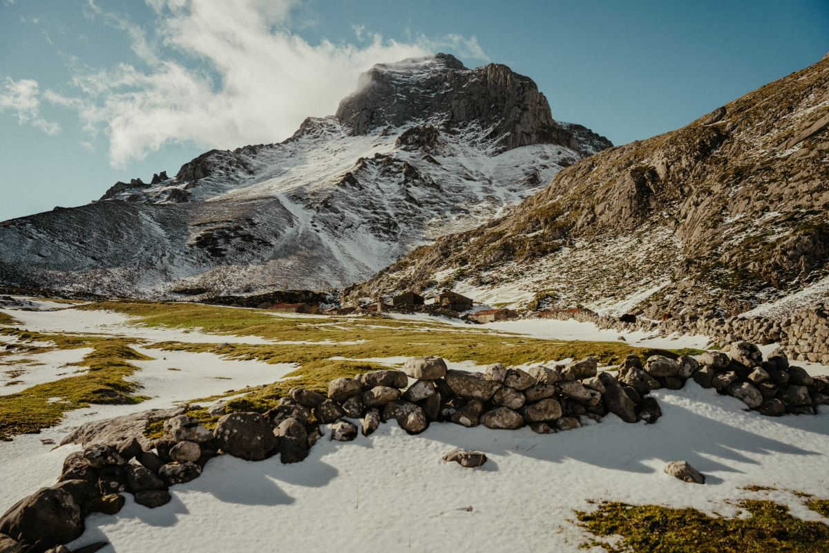
The climate of Cabrales is clearly conditioned by its relief. The differences between the high areas and the valleys are remarkable, both in temperatures and rainfall. In the high mountains, rainfall is more abundant and much of it falls in the form of snow, which makes access difficult during much of the winter. In the valley bottoms, the climate is milder, with mild winters and temperate summers.
These climatic contrasts directly influence the landscape, land use and traditional way of life.
A rich and contrasting vegetation
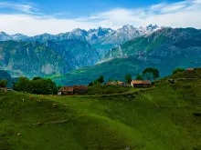
The vegetation of Cabrales perfectly reflects the diversity of its relief and climate. On the highest peaks, grasslands and mountain scrub dominate, covering sheepfolds, mountain passes and "brañas" (mountain huts). At lower altitudes there are extensive deciduous forests of oak, beech, chestnut, ash and linden, especially in the shady areas.
On the sunniest slopes, species of a more Mediterranean character thrive, such as oaks and strawberry trees, while in the quartzite areas there are frequent pine forests accompanied by heather, gorse and ferns.
Despite the logging suffered in the past, Cabrales preserves important examples of communal forests, testimony of a traditional management of the territory that has allowed to maintain a landscape of great ecological and cultural value.
A landscape shaped by rock and water
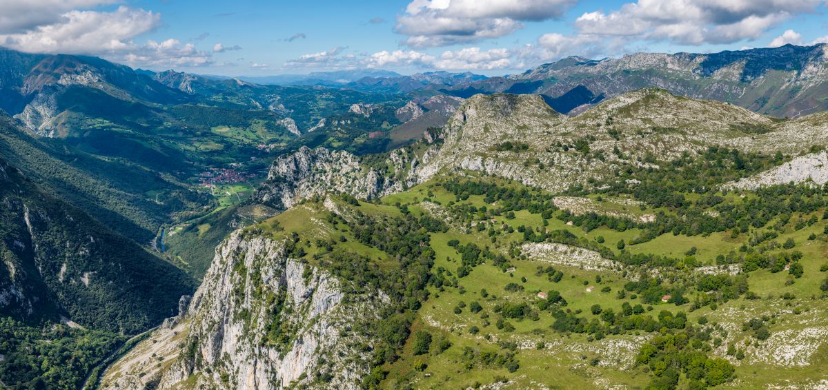
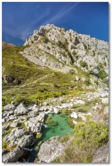
The geology of the council is dominated by Carboniferous limestone, organized in large scales that form impressive natural walls. On this substrate, the action of water has created a characteristic karst landscape, with lapiaces, dolines, jous and deep gorges, such as those of the Cares or the Duje.
In the highest areas, the ancient glaciers left their mark, completing an abrupt and very singular relief, which explains the abundance of spectacular shapes and the rich landscape of the territory.
Along with the Picos de Europa, the Sierra del Cuera is another of the great landscape units of the council. In its upper part predominate limestone platforms perforated by numerous depressions that act as large areas of water absorption, giving rise to springs and a dense network of small valleys that descend towards the inhabited areas.
.