
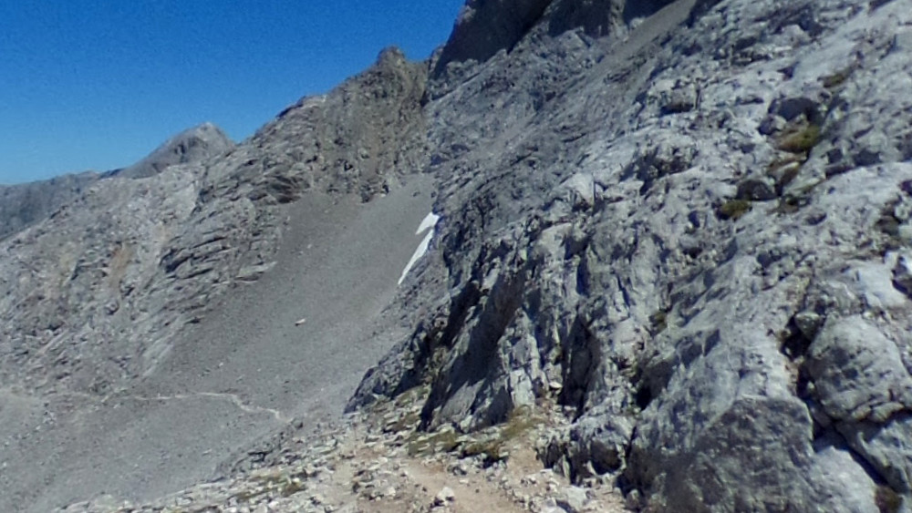
- Route: Linking traverse between the Vega de Urriellu hut and the Jou de los Cabrones hut.
- Approximate time: 2 hours (one way).
- Difficulty: +370 m uphill and -200 m downhill.
- Difficulty:. (Not because of the distance, but because of the technical terrain and the need to climb).
- Key points: Refugio de Urriellu → Brecha de los Cazadores → Corona del Raso → Horcada Arenera → Jou de los Cabrones.
General Information This high mountain route connects two of the most important points of the Massif Central: the base of Naranjo de Bulnes (Urriellu) and Jou de los Cabrones (the wildest and most isolated corner of the Picos). It is the natural link for those who are touring the massif or doing the "Ring of Peaks", allowing to join the routes that go up from Sotres or Pandébano with those that go down to Amuesa and Bulnes.
Route Description
- Starting from Urriellu: We start from the Vega de Urriellu refuge walking in a west/northwest direction. The visual objective is the Corona del Raso, a col located on the rock wall that joins the Neverón de Urriellu peak with the Camburero area.
- The Hunters' Gap: As we approach the rock wall, the milestones direct us towards a crack or narrow channel known as the Hunters' Gap. Attention here: it is the key step of the route. You have to overcome this gully by climbing, being essential to use your hands to reach the top.
- To the Horcada: Once you have overcome the climb and are located in the Corona del Raso, the terrain becomes smoother. We continue climbing comfortably until we reach a wider pass: the Horcada Arenera (2,273 m), a natural pass between the Neverón and the Cuetos del Albo.
- Descent to Cabrones: From the Horcada, we ignore possible detours and maintain our direction. The road begins to descend into the lunar landscape of the Jou. The terrain alternates areas of loose stone with slabs of limestone (lapiaz).
- Arrival: It is vital to pay close attention to the stone markers (jitos) so as not to lose the trail in this chaos of rock. Following the markings, we will finally arrive at the José Ramón Lueje refuge, in the Jou de los Cabrones.
An extra tip: Although the schedule marks only 2 hours, don't be overconfident. It is very technical and broken terrain. If it is foggy, the orientation in the final stretch (from the Horcada Arenera to Cabrones) is very complicated and dangerous.
Length (Km)
3.87
Max height (m)
2280.00
Min height (m)
1942.00
Absolute Density (m)
338.00
Positive Cumulative Elevation Gain (m)
466.00
Difficulty Level