
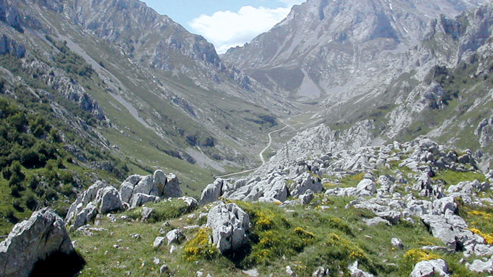
- Type: Circular (Tielve ↔ Sotres).
- Distance and Duration: 14.1 km (complete circuit) / 4 hours and 30 minutes.
- Level: 530 m ascent and descent.
- Difficulty: Medium.
Overview The route links the cheese villages of Tielve and Sotres, bordering Monte Camba. Being circular, it can be started in either of the two villages, although caution is recommended on the road sections.
The Route (Starting in Tielve)
- Route: You leave from the square of Tielve (700 m) along a steeply sloping track. This is the hardest part until you reach the Valfrío and Tobaos sheepfolds. Here you can enjoy views of the Naranjo de Bulnes.
- Traverse: The path separates from the Portudera route and continues towards Monte Camba (its beech forest stands out in autumn). It passes through Campo de Cimbraña until reaching the Majada de la Caballar (1,230 m), the highest point.
- Descent to Sotres: From the Caballar it descends to the village of Sotres.
- Return: It crosses Sotres to the top to take the "old road". This path descends until it leads to the paved road. Eye: The last 2 km to Tielve are on the road, so be very careful with the traffic.
Length (Km)
13.81
Max height (m)
1237.00
Min height (m)
687.00
Absolute Density (m)
533.00
Positive Cumulative Elevation Gain (m)
840.00
Difficulty Level