
- Type: Linear
- Distance and Duration: 11.9 km / 4 hours and 15 minutes
- Level: 620
- Difficulty: Medium.
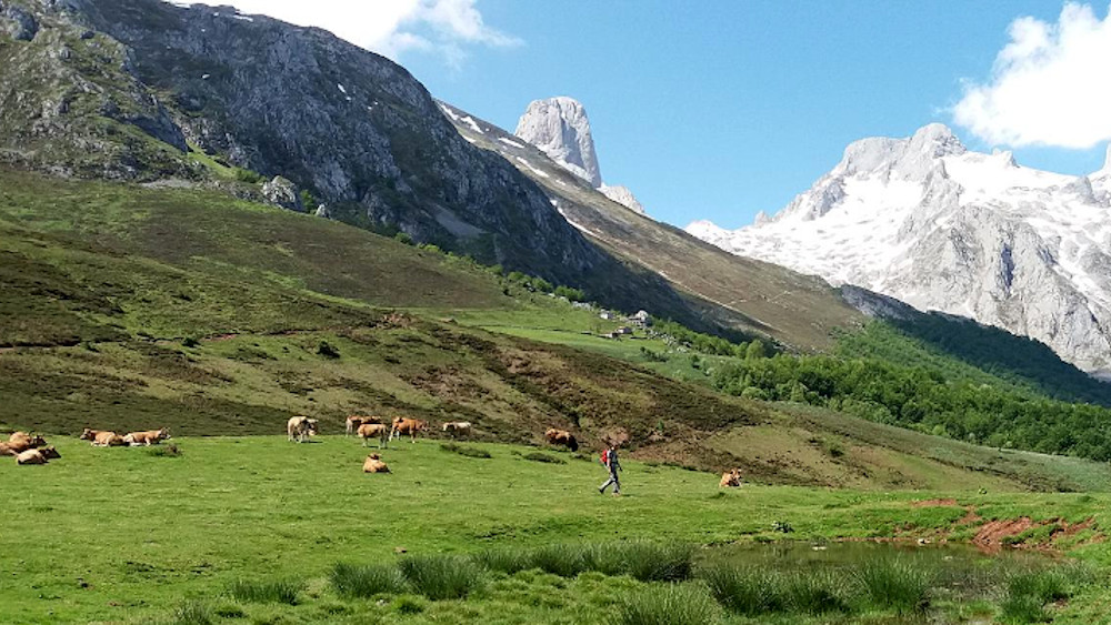
The route connects the high part (Sotres) with (Poncebos), passing by the foot of Picu Urriellu (Naranjo) and the village of Bulnes.
- Starting from Sotres: You start in Sotres (1,050 m). You must take the track that goes out to the Invernales del Texu. It is a comfortable descent to the bottom of the Duje river valley (900 m).
- Ascent to Pandébano: Once at the wintering grounds, you cross the river and begin the ascent to the Collado de Pandébano. It is a steady climb by track and trail until you reach 1,218 m.
- The best: When you reach the top, you will have spectacular views of the Naranjo de Bulnes (Picu Urriellu).
- Descent to Bulnes: From the col, the path changes. It is now a mountain path that descends between meadows and hazelnut trees towards the village of Bulnes. You will pass through the sheepfold of La Jelguera and the Urriellu viewpoint before entering the Barrio de Arriba or the Barrio de Abajo of Bulnes (647 m).
- La Canal del Texu: For the final stretch, you leave Bulnes and take the cobbled path down the Canal del Texu. It is a zig-zagging descent, steep and very picturesque, which will take you to the Puente de la Jaya (medieval).
- Arrival: Crossing the bridge you will be in Poncebos (200 m), the end point of this stage.
Length (Km)
11.92
Max height (m)
1228.00
Min height (m)
227.00
Absolute Density (m)
1001.00
Positive Cumulative Elevation Gain (m)
511.00
Difficulty Level