
The route begins in the village of La Molina which we reach by taking a detour at the top of Las Estazadas once past Ortiguero Carreña direction in the AS 114
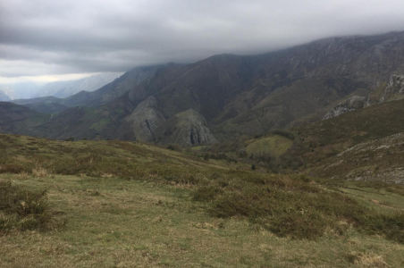
Before immersing ourselves in the route should enjoy the beautiful view of the river and the rugged environment in which carves an impressive gorge.
After leaving the village behind and crossing a chestnut forest, begins the descent towards the river by a cobblestone path that tradition attributes to the Romans, because when it reaches the river appears a small stone bridge, the "Pompedru". We must not cross the bridge, but turn right to follow the path that from here goes up the river, offering us its crystal clear waters, narrow canyons, lush forests and always beautiful views.
The path ends a little above the Miners Bridge where the riverbed closes to form a narrow gorge.
We go back the way we came. In times of floods the river can flood the road.
We go back the way we came.