
MOST IMPORTANT WARNING: This route has been descatalogued as PR (Pequeño Recorrido). The reason is its extreme hardness and the tremendous slope. It is a high mountain route reserved for very prepared people. In the absence of a new name, the old one is still used.
- Type: Linear (round trip).
- Distance: 8.3 km (one way) / 16.6 km (total).
- Duration: 5 hours and 30 minutes (only uphill).
- Difficulty: +1.700 m of ascent (a physical challenge of the first order).
- Difficulty: High (brutal unevenness, climbs, rocks and areas equipped with cables).
General Description Before the track from Sotres/Pandébano existed, this was the natural way to climb the Naranjo de Bulnes. It goes up deep and wild gorges (Texu, Balcosín, Camburero) to the limestone heart of the Picos. Recommendation: Plan it in two days, staying overnight at the Urriellu Refuge.
The Route
- Poncebos to Bulnes: It starts the same as the previous ones, going up the Canal del Texu to Bulnes (Barrio de Abajo/La Villa).
- Option: You can use the funicular to save the first hour and 430 m of vertical drop.
- To Balcosín: From the top of Bulnes, you take a narrow path through tall grass. You have to overcome a rocky pass next to the Voluga Castisierra waterfall (there is a cable to make sure) until you enter the narrow Riega de Balcosín.
- Jou Baju y Camburero: You climb up the narrow valley of Balcosín. At the end, another pass with cable helps to overcome a ledge to reach Jou Baju. Here you turn right to climb the hard Camburero Channel to the ruins of the sheepfold (1,370 m).
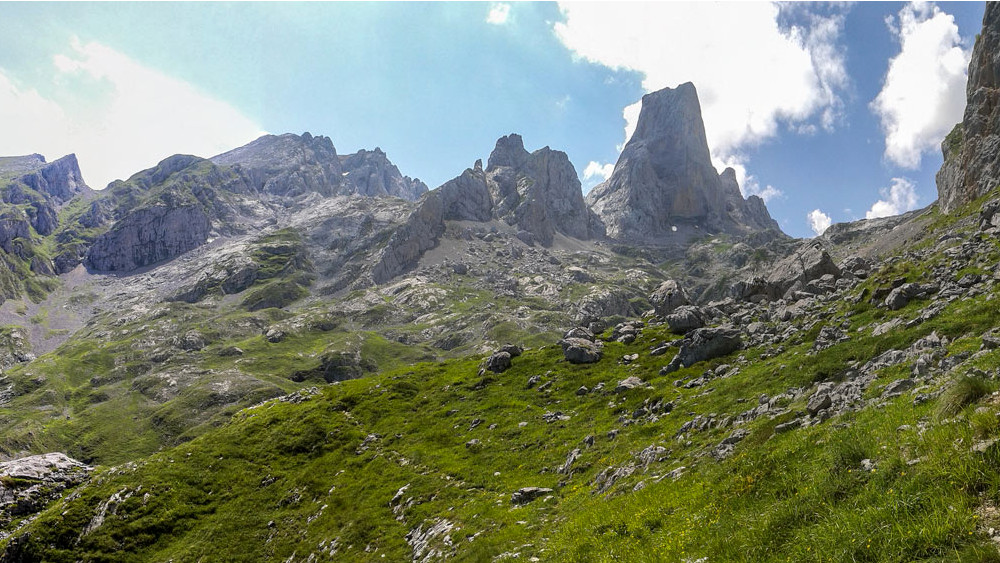
- The final stretch (Jou Lluengu): From the sheepfold you can already see the Naranjo. The most difficult part remains: climbing the Jou Lluengu, a huge slope of stones and rocky crags.
- Arrival: After the final effort (which may include a small climb depending on the path chosen in the rocky area), you reach the Refugio de la Vega de Urriellu (1,950 m), just at the foot of the impressive west face of the Naranjo de Bulnes.
Return Options Given the hardness of going down the same place (knees suffer a lot in Camburero), it is recommended to return the next day by a kinder route, such as going down to Pandébano/Sotrees (PR-PNPE-21) and from there down to Poncebos (or take a cab in Sotres).
Return Options (PR-PNPE-21).